1. Introduction:
Barwani district is one of the district of Madhya Pradesh state of India.The administrative headquarters of the district is at Barwani. Barwani district has an area of 5,427 km² and a population 1,385,881 ( 2011 census )The district lies in the southern western corner of M.P. The Narmada rivers forms its northern boundary. The Satpura range lies to its south.The district is bordered by Maharashtra state to the south, Gujarat state to the west, Dhar district to the north, Khargone district to the east. It is bounded by Latitudes 21.0 37’ to 22.0 15’ Nand longitude 74.0 28’ to 75.0 41’E. R.L. of Barwani is 178 m and area 11.12 sq km.
2. Flora and Fauna:

The different trees found in the forest are teak, palas,saja, mahua, Acacia, peacock flower tree and kher. Thorny bushes are also found in the forest of district. The area around Pati and Silawad are thickly forested. The wild animals met in the district do not differ remarkably from those found in most parts of the country. The carnivorous animals like Tiger, panther, Lion are very rare and seen in the interior areas with dense forests. Jackal, Fox, Bear, Rabbit, Monkey are commonly seen animals in the forest.
Among birds Jungli Murgi(Wild fowl), Peacock, Bhat titar(Partridge), Bater bird, Pigeon, Heron are commonly seen.
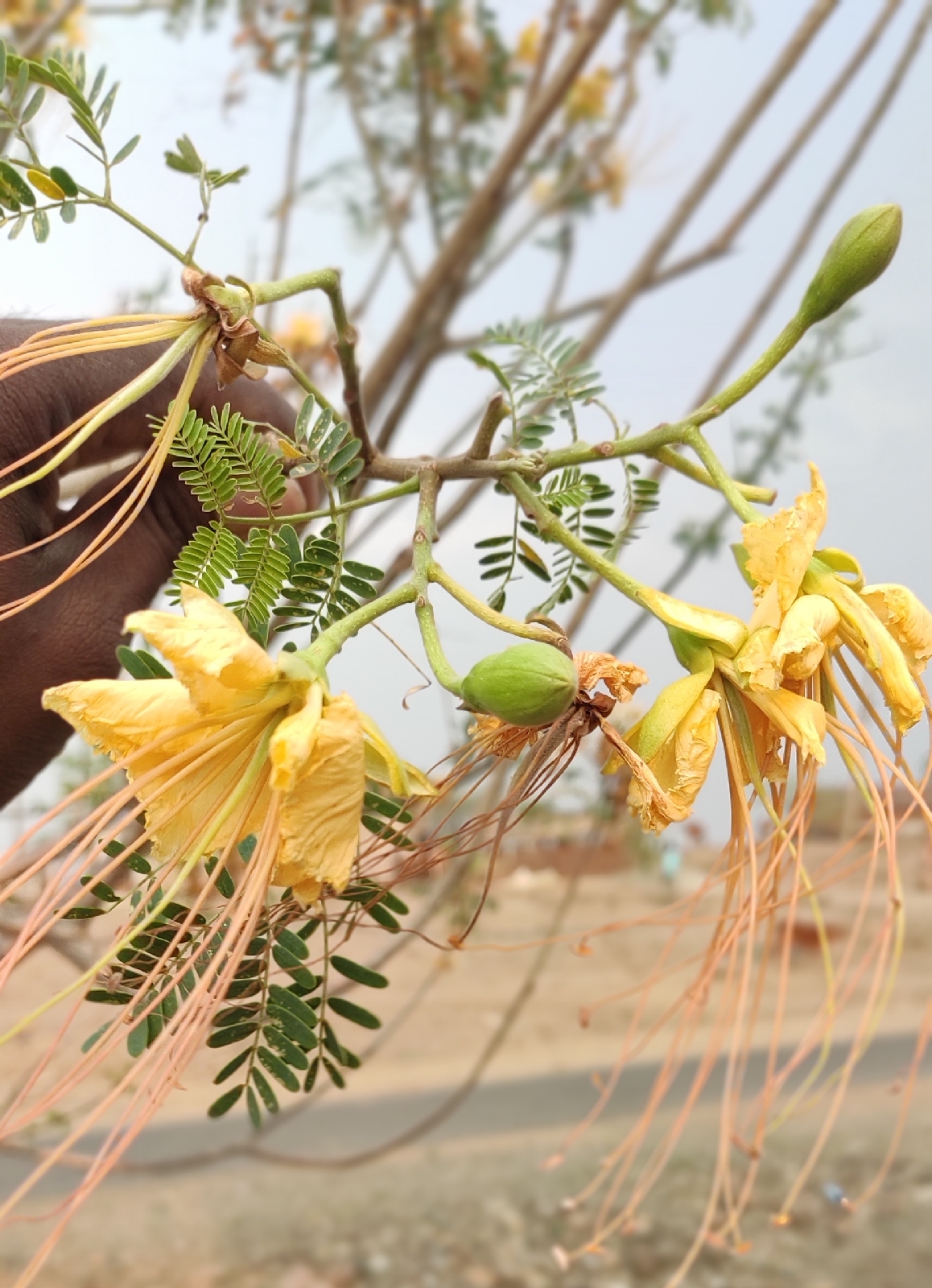
peacock flower
3. General Topography:
Physically the district comprises three natural divisions. Parallel with the Narmada, lie the well
marked belts of Narmada valley in the north, the Satpura range along the southern and the
western margins and narrow belt of scarp ridges ( Vindhyan hill range) Area in the district is
plain and undulating.

Narmada River
3. Rainfall and Climate:
The rainfall in the major portion of the district increases from the south to the north, but in
Barwani Rajpur region in the NW. Average rainfall ranges from 600 to 900 mm in the district.
The climate of the district on the whole is tropical and dry except during south west monsoon season ( middle of june to sept. ) winter season is between Nov. to Feb. Summer season starts from March and ends by June.

4. Drainage:
The drainage of the area is controlled by E-W flowing Narmada river,its tributaries and sub
tributaries, which join it from the north and south sides.Goi river is the main tributary of river
Narmada in Barwani area the overall drainage system is of subsequent type. About 88% of the
district lies in Narmada basin and 12% in Tapti basin. The major tributaries of Narnada are Deb
and Goi .The district area is drained mainly by the Narmada river and its tributaries like Goi and Deb. All of these tributaries flow from south to north and join Narmada. Similarly tributaries like Tori, Churi, Dudhikheda etc. flow from north to south, major rivers are perennial to semi-perennial.


Weathered basalt deposit
5. Temperature:
Temperature in the area begins to rise rapidly from March. May is the hottest month of the year with maximum 42 to 48°c With the onset of the south west monsoon over the district by about the middle of June. With the withdrawal of the s-w monsoon by the end of Sep. slight increase in the day tem. December is the coldest month with minimum of 11°c.
6. Overview of mining activity in the district:
Minerals are the back bone of the economy of the country. It plays an important role in development.
Geologically the Barwani district is covered by Deccan trap basalt.57 nos. of crusher are working in the district for making gitti in the district. 16 nos. of calcite leases were sanctioned out of which only 2 leases are working presently.
Process of deposition of sediment in the river of the district. There are three main types of processes that occur in a river. These are erosion, transportation and deposition. All three depend on the amount of energy there is in a river.
7. Types of erosion:
The energy in a river causes erosion. The bed and banks can be eroded making it wider, deeper and longer. Headward erosion makes a river longer. This erosion happens near its source. Surface run-off and and through flow causes erosion at the point where the water enters the valley head.
Vertical erosion makes a river channel deeper. This happens more in the upper stages of a river (the V of vertical erosion should help you remember the v-shaped valleys that are created in the upper stages). Lateral erosion makes a river wider. This occurs mostly in the middle and lower stages of a river.
There are four main processes of erosion that occur in rivers. These are:
1. Hydraulic Action;
2. Abrasion / Corrosion;
3. Attrition; and
4. Corrosion
8. Hydraulic action:
The pressure of water breaks away rock particles from the river bed and banks. The force of the water hits river banks, and then pushes water into cracks. Air becomes compressed, pressure increases and the riverbank may, in time collapse. Where velocity is high e.g. the outer bend of meaner, hydraulic action can remove material from the banks which may lead to undercutting and and river bank collapse. Near waterfalls and and rapids, the force may be strong enough to work on lines of weakness in joints and bedding planes until they are eroded.
9. Abrasion / Corrosion:
The sediment carried by a river scours the bed and banks. Where depressions exist in the channel floor the river can cause pebbles to spin around and turn hollows into potholes.
10. Geology and mineral wealth:
Geologically the district area comprises rocks of Basaltic flows of Deccan trap occupy a major part of the area in the district. They have been as Satpura groups confined to the south of the Narmada River.Satpura group comprises 55 flows of varied types between 198 m. and 1033m. elevations above the m.s.l. The general thickness of the individual flows varies between 15m and 40m. The lower and middle sequences are pahoehoe type while upper flows are of Aa type. The lawa flows show tilting in the vicinity of the faults. This group is classified in to 6 formations on the basis of occurrence of megacryst flows and presence of red/green boles.
The Deccan traps belong to the type called ‘plateau basalt’ and are uniform in composition
corresponding to dolerite or basalt. These are dark to dark greenish grey in colour.These traps are distinguished in to vesicular and non vesicular varieties . The non-vesicular (Massive basalt) types are hard, tough, compact and medium to fine grained and break with a conchoidal fracture. The vesicular types are comparatively soft and friable and break more easily. Numerous ash beds are common in the upper portion. Thickness of these rocks may be 1200 metres.
Numerous dykes of various length, width and composition traverse the flows. Most of them display appreciable relief giving rise to narrow ridges in the area. The dykes have a ternd of NW-SE and N700 E-S 700 W which corresponds to the Narmada lineament . Compositionally the order of abundance of these dykes is basaltic,doleritic, and acidic.
The calcite veins form the minor intrusive showing.
These are 0.5m to 20m thick and comprise greenish or yellowish transparent, rhombic crystals of calcite. Minor occurrences of calcite, have been noticed around area of villages Samartalai, Ghusgaw, Budi pahar, Goi river, South of Pati, Chaklia, Yervada, Darbalia, Valan, Gandhawal, limbi, Masaoda,Vedpuri, palsud, chiklia. I found Blue quartz, Agate, in Samartalai.


Blue Quartz


Agate

No comments:
Post a Comment